Southern Africa is a part of the world that we are all very proud to call our homes. We are moving forward, together with communities from the following countries: Angola, Botswana, Comoros, Democratic Republic of Congo, Eswatini, Lesotho, Madagascar, Malawi, Mauritius, Mozambique, Namibia, Seychelles, South Africa, United Republic of Tanzania, Zambia, and Zimbabwe. The region is a part of Africa that has a distinct geography, culture, history and people that is uniquely Southern African.
Map of Southern African Countries and their Independence Days
More About Southern African Countries
Angola
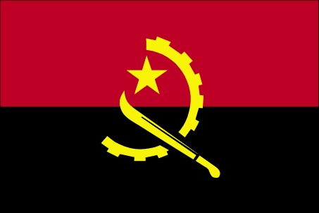
The Republic of Angola covers 1,247,000 km² in the western region of Southern Africa. It is the second largest country south of the Sahara after the Democratic Republic of Congo. The country can be divided into six geomorphologic areas: Coastal area, marginal mountain chains, the old tableland, Zaire basin and the basins of the Zambezi and Cubango. The capital of Angola is Luanda. Angolans speak Portuguese, Chokwe, Kikongo, Kimbundu, Oshiwambo and Umbundu as well as other minority languages.
Botswana
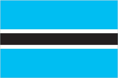
Botswana is a completely landlocked country in the centre of Southern Africa. One of Southern Africa’s longest rivers, the Okavango, flows into the north-western part of the country, forming the UNESCO World Heritage Site Okavango Delta. Botswana shares borders with South Africa, Namibia, Zambia and Zimbabwe. The capital of Botswana is Gabarone. The official languages of Botswana are English and Tswana.
Comoros
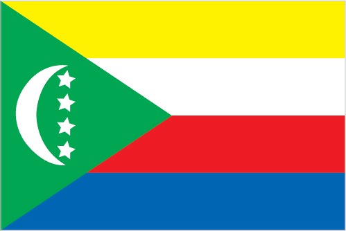
The Comoros is a volcanic archipelago, composed of 4 islands, located off the east coast of Africa, in the warm waters of the Mozambique Channel in the Indian Ocean. The Grand Comore (Ngazidja), the largest island in the nation-state, is surrounded by beaches and old lava from the active Mount Karthala Volcano. Around the port and the medina of the capital, Moroni, are carved doors and a white colonnade, the Old Friday Mosque, reminiscent of the Arab heritage of these islands. The Union of the Comoros was admitted to SADC on August 2018. The official languages of the Comoros are Comorian, French and Arabic.
Democratic Republic of Congo
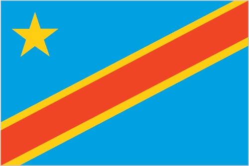
The Democratic Republic of Congo (DRC), formerly known as the Republic of Zaire, is geographically the largest state in Southern and Central Africa. It is situated at the heart of Africa, and lies on the Equator, covering an area of 2,345,095 km². The DRC has 37 kilometres of coastline and geography characterized by a vast central basin low-lying plateau rising to volcanoes and mountains in the east. The capital of DRC is Kinshasa. Commonly spoken languages are French, Kituba (Kikongo), Lingala, Swahili and Tshiluba.
Eswatini
Formally known as the Kingdom of Swaziland, Eswatini is a small, landlocked country covering a total area of 17 364 km2 and is located in the Southern part of Africa bordered by the Republic of Mozambique to the east and the rest by the Republic of South Africa. Known as the Switzerland of Africa, Swaziland comprises magnificent mountain scenery with unique, ancient rock formations, which are a source of fascination for geologist, scholars and visitors. Within this small area each feature of Africa’s terrain, apart from desert, is to be found.
Lesotho
The Kingdom of Lesotho is situated in the south eastern region of Southern Africa, covering an area of 30,355 km² and is entirely surrounded by South Africa. Lesotho’s geographical formation is characterised by high mountains and deep valleys, and it is the only country in the world to have all its entire territory located at more than 1,000 metres above sea level. More than 75 % of Lesotho is mountainous, with only 25 % considered lowland.
Madagascar
The island of Madagascar is situated 400 km off the east coast of Africa, separated from the mainland by the Mozambique Channel. It is a large island, stretching 1,580 km from north to south and 600 km from east to west, with a coastline of about 5,000 km. The topography is varied; hilly in the north and in the central part of the island (high plateaus with altitude between 1,200 and 1,500 metres) and plains in the east, west and south.
Malawi
Malawi is a landlocked country, located in southern central Africa along the western part of the Great Rift Valley of Africa. Covering a total area of 118,484 km², it stretches some 900 km north to south, and between 90 and 161 km east to west. Malawi is bordered by the United Republic of Tanzania to the north and north east, Mozambique to the east, south and south west, and Zambia to the west.
Mauritius
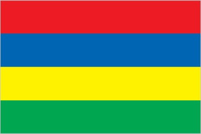
The Republic of Mauritius is situated in the south west Indian Ocean, approximately 2,400 km from the south east coast of Africa, located just to the north of the Tropic of Capricorn. The island is only 67 km in length and 46 km at its widest point, with a total land area of 2,040 km², owing its origins to submarine volcanic activity. Although the volcanoes are long since dormant, they have left their mark on the profile and landscape of the island.
Mozambique
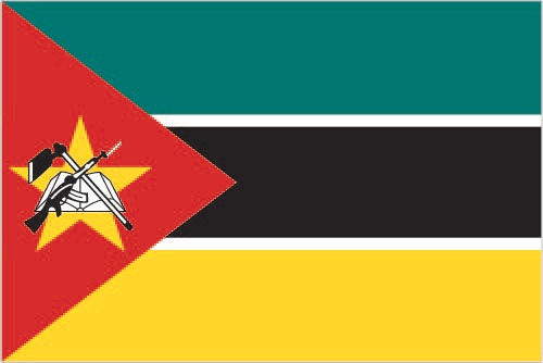
Mozambique lies on the east coast of Southern Africa, measuring a total of some 799,380 km² in area. The country borders the United Republic of Tanzania, Zambia, Malawi, Zimbabwe, South Africa and Swaziland. The country’s extensive coastline stretches 2,515 km along the south east and east coast of Africa. The Zambezi and Limpopo rivers, two of Africa’s major rivers, flow through Mozambique to the Indian Ocean.
Namibia
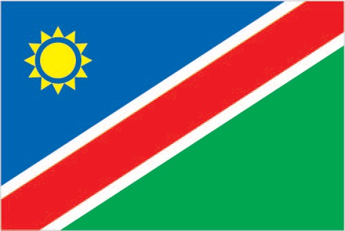
Namibia is situated on Africa’s south-western seaboard. Its neighbouring countries are Angola to the north, Botswana and Zimbabwe to the east and South Africa to the south. The country is bordered by the Atlantic Ocean in the west. The country covers 825,615 km² (almost four times the size of the UK and twice that of Germany) and is divided into 13 regions as determined by the delimitation commission.
Seychelles
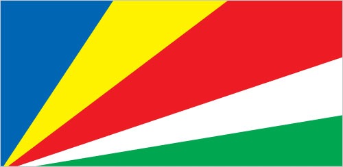
The cosmopolitan Seychelles is are a colorful and harmonious blend of different races, which stem from African, European and Asian roots all of whom have brought something of their own customs and way of life to the islands. The result is a charming Creole culture enriched from the melting pot of many continents.
South Africa
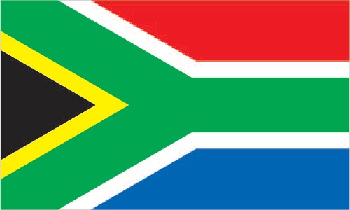
The Republic of South Africa occupies the southernmost part of the African continent stretching from the Limpopo River in the north to Cape Agulhas in the south. Covering an area of 1,219,090 km², the country shares borders with Namibia, Botswana and Zimbabwe in the north, and with Swaziland and Mozambique in the north east. It also entirely surrounds the Kingdom of Lesotho.
United Republic of Tanzania
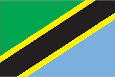
The United Republic of Tanzania includes the Indian Ocean islands of Pemba and Zanzibar and the mainland territory, covering a total area of 1,0219,090 km², and is located on the east coast of Africa between the great lakes of the African Rift Valley system in the central part of the continent and the Indian Ocean. The capital of Tanzania is Dar Es Salaam. Languages spoken include Swahili and English and other minority languages.
Zambia
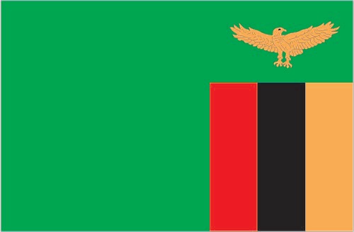
Zambia is an entirely landlocked country covering an area of 752,612 km². To the north it is bordered by the Democratic Republic of Congo and the United Republic of Tanzania, to the west by Angola, to the south west by Namibia, to the east by Malawi and Mozambique, and to the south by Zimbabwe and Botswana. The capital of Zambia is Lusaka. Languages spoken are English, Bemba, Nyanja (chewa), Lozi, Tonga, Kaonde, Luvale, and Lunda.
Zimbabwe
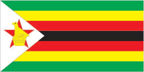
Zimbabwe occupies 390,757 km² of land in south Central Africa, between the Limpopo and Zambezi rivers. The land-locked country is bounded by Mozambique to the east, Zambia to the north and north west, South Africa to the south, and to the south west by Botswana. It lies wholly within the tropics and is part of the great plateau which traverses Africa. Zimbabwe’s capital is Harare. Languages spoken include English, Shona, Chewa, Chibarwe, English, Kalanga, Koisan, Nambya, Ndau, Ndebele, Shangani, Shona, sign language, Sotho, Tonga, Tswana, Venda, and Xhosa.
*Information reprinted from Southern African Development Community website
The video below, produced and narrated by Mike Hove, provides some information about our region.